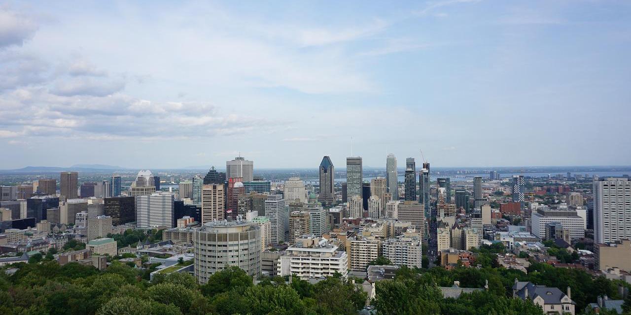
Ecopia have announced a partnership with Sustainable Development Technology Canada that will support the creation of high-precision 3D vector maps across the top 100 cities in Canada. This next-generation digital mapping data will support sustainability-related initiatives as part of the Canadian Governments plan to achieve net-zero emissions by 2050.
Digital maps serve as the foundation for numerous applications that help facilitate economic growth, community, development and climate resilience. The use of such mapping offers an opportunity to increase efficiency and accuracy of decision making within cities and across the nation with applications ranging from government, insurance, telecommunications, transportation, and public safety.
The creation of such digital representation of the top 100 cities in Canada will support stakeholders to better understand and manage their cities. This will include the acceleration of Net-Zero initiatives such as rooftop solar installations, tree-canopy coverage assessment, and enhanced flood mapping. These standardized maps will also enable provincial and federal stakeholders to better understand and benchmark progress toward Net-Zero 2050 targets, offering valuable insight into policy and funding programs.
“Canadians across the country are part of the solution in fighting the climate crisis and Ecopia is seizing the moment and doing their part. Our government knows that when investments in science, technology and innovation are paired with ambitious and talented Canadian entrepreneurs, it drives the breakthroughs we need to fuel a more resilient and sustainable future for everyone.” commented The Honourable François-Philippe Champagne, Minister of Innovation, Science, and Industry
Leah Lawrence, President and CEO of SDTC also commented saying: “Big data plays a vital role in achieving and maintaining optimum environmental sustainability. With this funding, SDTC is proud to help Ecopia optimize their data solution, paving the way for bigger market opportunities and greater sustainability”
Ecopia will use its AI-based mapping systems to mine high-resolution multi-view aerial imagery, prioducing the high-quality 3D vector map of Canadas top 100 cities. The resulting map will offer a highly accurate digital representation of every building, road, bridge, railway, driveway, sidewalk, parking lot, swimming pool, sports field, waterbody, forest, grassland, bare land, and paved area across each city.
The cities of Thunder Bay and Windsor are consortium partners on the project and will be at the forefront of deploying these maps for sustainability-related applications. Additionally, Ecopia will be offering each of the top 100 municipalities across Canada a 2-year license to the data to help support immediate action toward climate resilience initiatives.


